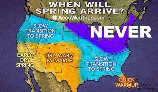
Happy Holidays to all our Head in the Clouds followers out there. It won’t exactly be a lovely, serene “white Christmas” this year, but Mother Nature will be making her presence known. A strong storm system is descending upon Southern New England today and tomorrow, bringing wind, rain, and rising temperatures. Christmas morning will find temps in the mid-50s. Coastal areas of New England are under wind advisories at the moment, but even here in Amherst it will be breezy, with flooding possible through Thursday morning. Temps stay mild until around Monday, because of course, what would First Night be without below-freezing temperatures?!
"Winter is begun here, now, I suppose. It blew part of the
hair off the dog yesterday & got the rest this morning."
Mark Twain, Letter to Chatto and Windus, October 21, 1892.
Talk about wild weather in the forecast! The next few days - starting late tonight through Thursday - promise to bring some interesting weather to our area. Just how interesting will depend entirely on where you are located.
The forecast here in Amherst is extremely tricky to decipher, as the track of this week's looming Nor'easter has shifted slightly east since yesterday, which means the possibility of significant heavy wet snow accumulation (over 6 inches) plus a trace amount of ice in the higher elevations of northern and western parts of Massachusetts, including Franklin, Northern Worcester, Hampshire and Western Hampden Counties. (This being an Amherst-centric page, I won't go into detail on the rest of the region, but suffice it to say that ski areas in VT are going to hit the snow jackpot, and it's going to be extremely windy with heavy rain on the coast).
So what will happen here in Amherst? The computer models at this time are showing that precipitation will start out late tonight, possibly as snow with some pockets of freezing rain or drizzle. We could get a trace to a few inches of snow overnight through Tuesday morning (though the lower amount is more likely here, in the Valley's lower elevations). Whatever snow does fall will be heavy and wet - where more than 4 inches falls, power outages are likely. Expect heavy rain through Tuesday, before things quiet down by Wednesday. At that point it gets colder again, a new front moves over us, and we are likely to get a few more inches of snow through Thursday.
And all that being said, there is a high level of unpredictability in the computer models, and you should be prepared for anything. Depending on the track of this storm and any shift in the rain/snow line, we could see much worse conditions. Not likely, but possible.


